The game board
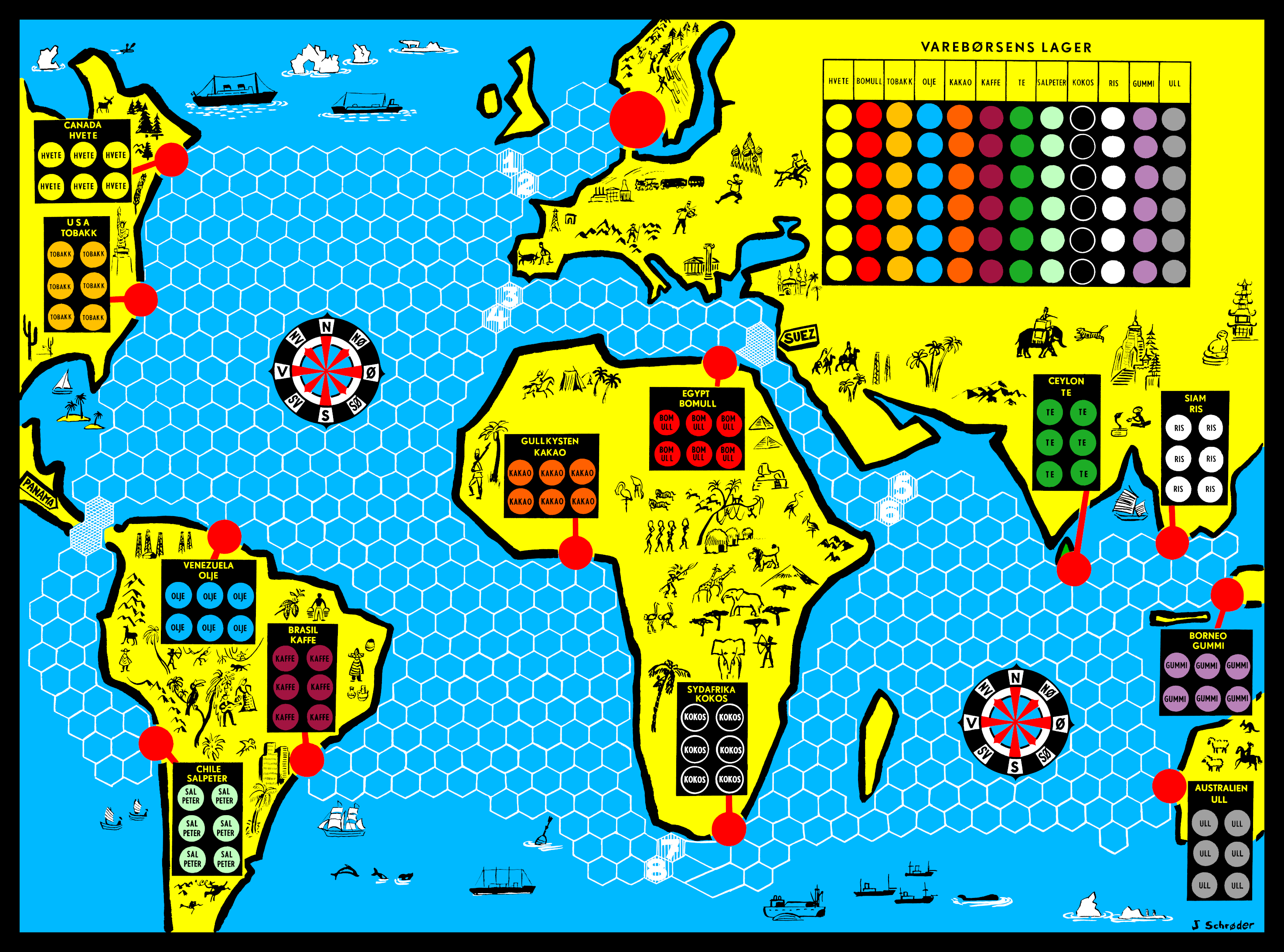
In the rules, the board is described as a simplified map of the world, but in reality it only includes the non-arctic parts of the hemisphere centered on Africa — from around 100° west to 120° east, and from 70° north to 50° south. In addition to the elements that are relevant to the game, it is sprinkled with small thematic vignette illustrations. These are typical for the time, but some of them would today be regarded inappropriate by many, such as whaling in the south of the Indian Ocean, bullfighting in Spain, tiger hunting in India, and “exoticising” depictions of peoples, particularly in Africa.
The board measures 495 by 370 mm (19.5 by 14.5 inches), and is folded in the middle in order to fit in the game box. It is printed on 0.6 mm (24 thou) thick paperboard with a somewhat glossy surface; the reverse is unsurfaced and quite rough. The same material is also used for the commodity tokens and the price chart.
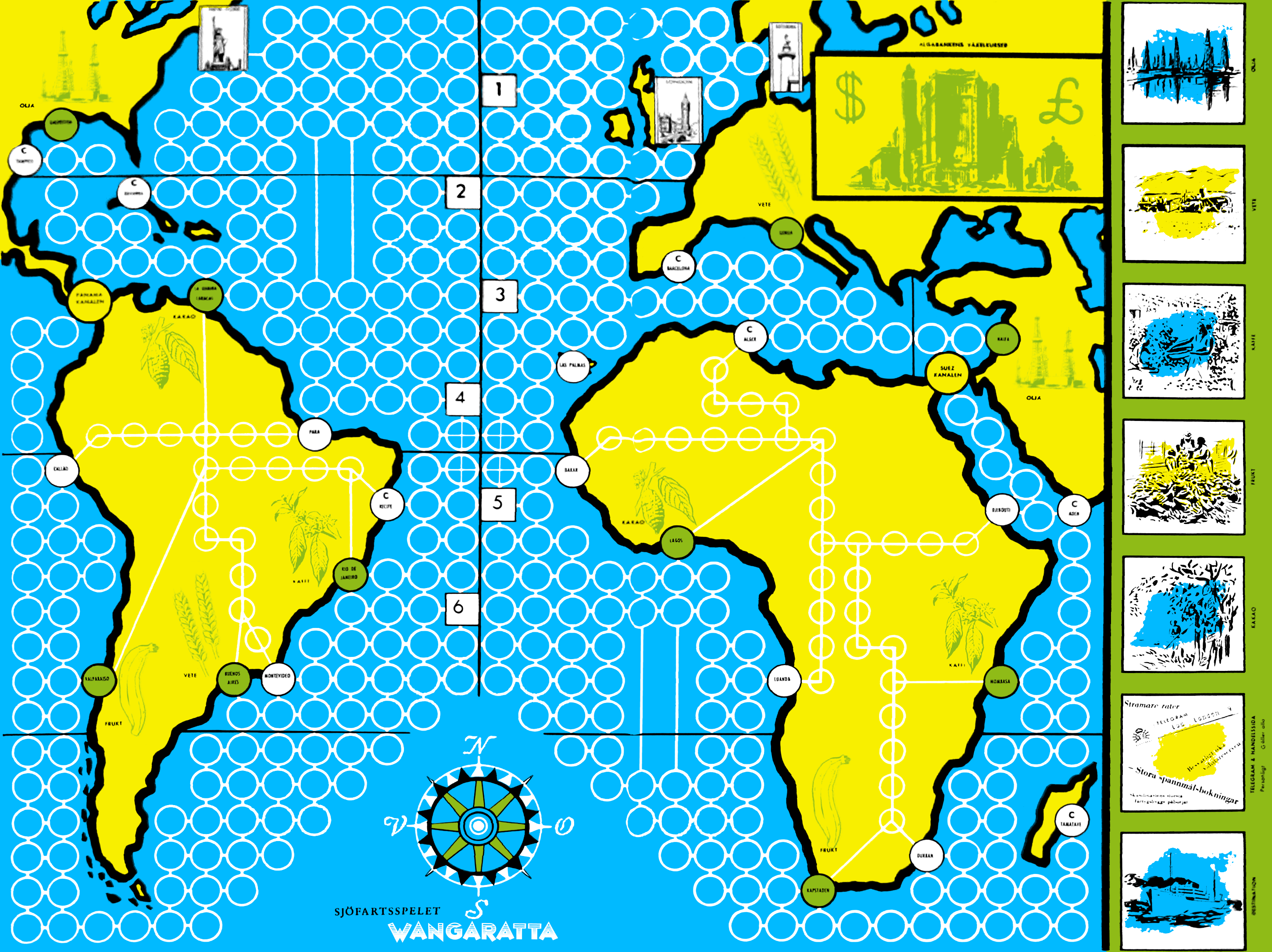
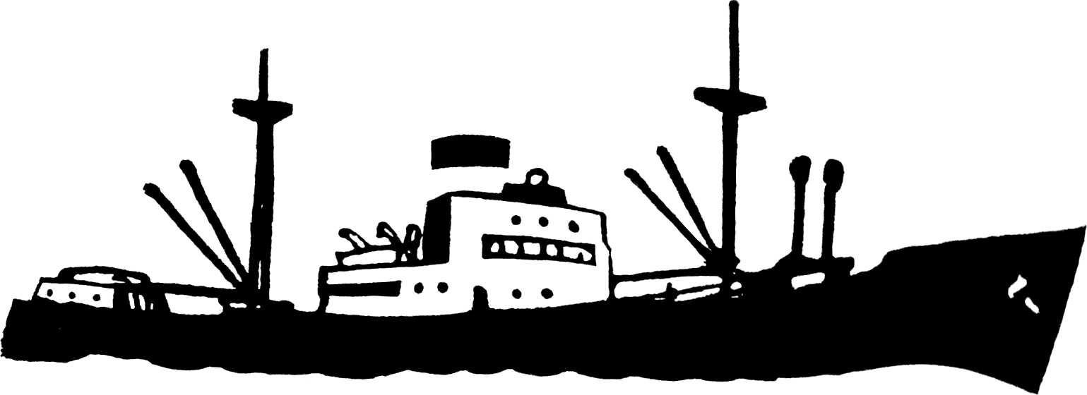
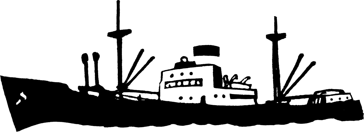
Many of the choices behind its visual design is easier to understand when looking at the board from the earliest version of the Swedish game Wangaratta, which the entire game is heavily inspired by. The board of that game is printed from only three plates with no use of halftones. It has a blue plate for the oceans and a yellow one for the landmasses; where they overlap, they combine to form green elements. The third plate is black, and among other things it includes rather broad outlines for all the landmasses. The reason for this choice was neither clarity nor aesthetics, but purely pragmatical: this way the black lines would cover up any unintended green edges that would appear if the plates were slightly misaligned in the printing process.
White of course remains where all plates are empty, and white outlines mark spaces for ships to move on across the oceans and also a smaller number on two of the continents where lorries can move. For the spaces on the continents, visibility became a problem due to the low contrast between yellow and white, so later printings instead used orange ink for this plate. As the bases of the ship and lorry pieces are circular, the spaces are drawn as circles, but for the most part they are placed in a regular square grid. The map is deliberately distorted in order to make room for the movement grid in narrow but important routes, such as the English Channel, the Mediterranean, the Red Sea and the strait west of Madagascar, all of which are widened.
The board for Shipping copies most of these features, but adds many improvements. The spaces are changed into a hexagonal grid, allowing for more spaces of the same size and a more fluid movement. As the game drops the overland transportation by lorries, the problem with white on yellow does not apply. The map is extended eastwards, which largely removes the need for the displacement of Madagascar; so there is no other explanation for its position than that this is inherited from the Wangaratta board. Despite retaining the main use of the blue, yellow and black plates, a fourth red plate is added. At this point in time the printing industry had not yet settled on the now standard CMYK colour separation, so using red rather than magenta was common. In addition, simple halftoning was employed in small areas in order to arrive at twelve unique and easily distinguishable colours for the commodities.
There are a small number of irregularities in the board design. The small part of the island of Sri Lanka (still called Ceylon in the game) that is visible is coloured green instead of yellow like all other landmasses. On the compass roses, the letters NV (signifying nordvest, i. e. northwest) are awkwardly oriented across the outer band rather than along it like the other intercardinal directions. In the Dansh original, the country of Egypt is spelled Egypten, which became the official Danish form the year after the game was released, but the rules retain the traditional form Ægypten. On the Norwegian board, the names of South Africa and Australia are retained as Danish Sydafrika and Australien, rather than being translated to Norwegian Sør-Afrika and Australia, which are the forms used in the rules.
- The entire board as a single PNG image file — the issues noted above are corrected, and the circles and the lettering of the storage areas have been made more regular; also, the size is adjusted to 497 by 368 mm in order to make the black edges of even width.
- PDF with two A3 pages – the same image split into more easily printable pages, with 3 mm bleed zones and cropmarks.
- PDF with four A4 pages – the same with A4 paper for those who don’t have access to an A3 capable printer.
Tor Gjerde <i@old.no>